In this Article
Bamboo provides many ecosystem goods and services, including food, fiber and construction materials. In most developing countries in tropical Asia, data on bamboo resources such as species composition, clump density (clump/ha) and culm density (culm per ha) are, most of the time, not available, including the map of their current extent and the suitability maps for commercial bamboo species. The traditional mapping procedure being used for tropical bamboo requires downloading satellite imagery, a hardware/workstation with high processing capability, image processing software, and a fast internet connection. These requirements are real challenges, especially in developing countries where the internet connection is not fast enough to download the heavy files of satellite imagery, where a workstation with high processing capability is wanting, and where funds to procure the software for satellite image processing is lacking.
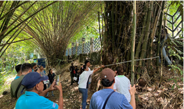
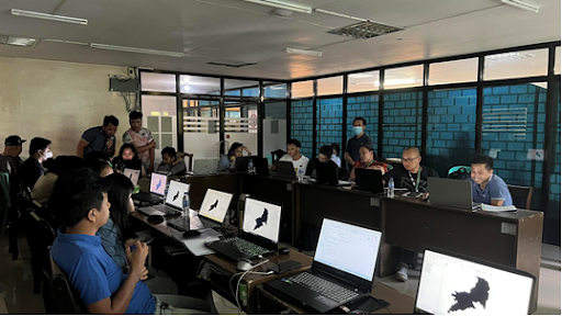
To address these gaps, the project team from DENR-ERDB developed a geospatial-based bamboo inventory system to: 1) determine the species composition, clump density and culm density of bamboo resources in the study site using a field inventory procedure; 2) model their extent using satellite data in a cloud-computing platform, and 3) map the areas suitable for growing selected commercial lowland bamboo using an open-source GIS software. They used field plots, Sentinel-2, Google Earth Engine platform, geophysical layers and QGIS software to achieve the tasks and address the above challenges. These geospatial techniques were shared and piloted through 5-day training to the DENR field staff at the CENRO and PENRO levels in the provinces of Pangasinan, Rizal and Ilocos Norte.

