In this Article
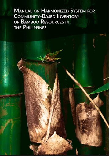
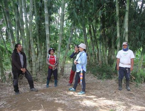
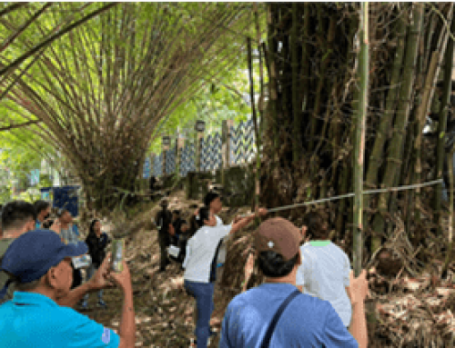
Bamboo cover maps and estimates of harvestable bamboo culms in Pangasinan, Iloilo, and Bukidnon were obtained using community-based bamboo approaches combined with remote sensing technologies and open-source mapping resources, with respectable accuracy. Pixel-based image classification method was used to map bamboo resources and other land-use and land-cover (LULC) at 10 m resolution. Total projected bamboo cover (in hectares) and its relative percentage over the total land area for the three provinces were generated through remote sensing and mapping and were validated through ground-truthing. The ground validation allowed the project team to gather more granular data such as harvesting density, species diversity, average culm length and diameter, and culm classification/age of culm of bamboo resource in the three provinces. The inventory protocols developed by the project team were documented in the handbook “Manual on Harmonized System for Community-Based Inventory of Bamboo Resources in the Philippines” which can be employed for scaling-out in other regions in order to provide projections of available bamboo resources for the whole country.

