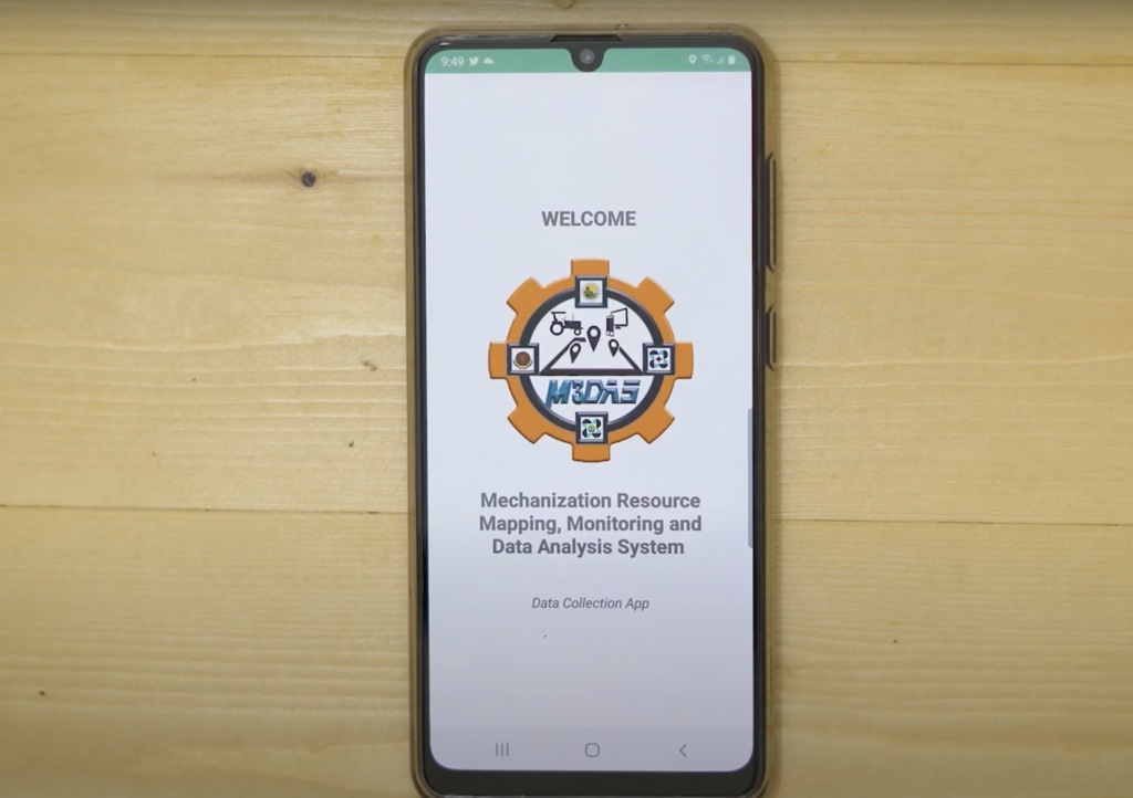
The ULPB-BIOMECH-developed M3DAS Data Collection Mobile App is used in conducting surveys to determine the mechanization resources that can be visually represented through various types of maps for planning, monitoring, and ascertaining the mechanization situations in specific localities. A database, securely connected to the M3DAS server, stores the data gathered from surveys. It contains processed data which include, but not limited to, geo-tagged machines, available horsepower, machines for custom hiring, and suitability of machines in an area.
M3DAS can provide critical information through thematic maps, statistics, and other Geographic Information System (GIS)-based information that will allow more thorough understanding and appreciation of the mechanization situation in a particular locality. It is useful in M3DAS allows rapid updating of data that allows planners and implementers more in depth understanding of the mechanization situation being addressed.
