In this Article
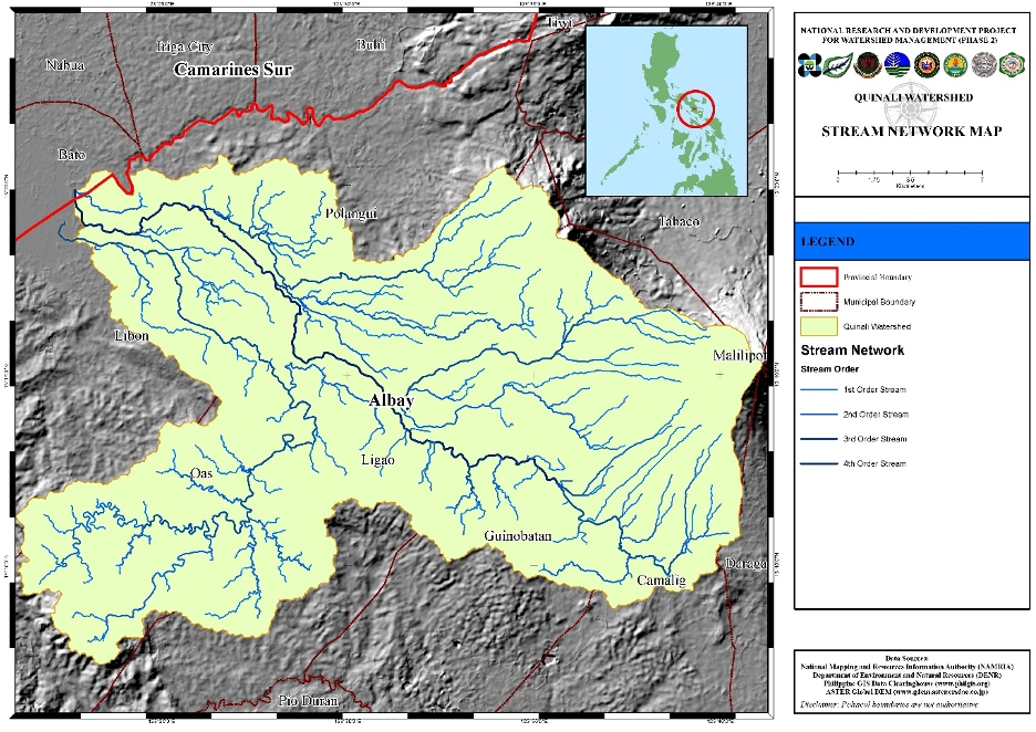
The Quinali Watershed’s natural and man-made features, the land cover and corresponding land use, and the climate, particularly precipitation, affect the quality of its water bodies.
The water quality data from fourteen sampling stations within the Quinali Watershed show that elevation influences the water temperature, electrical conductivity and total dissolved solids (TDS). The correlation analysis shows that the low temperature water emanating from the headwaters of the watershed which are located at high elevations, gradually grow warm as they flow down towards the lower elevation areas of the watershed and eventually out to Lake Bato. Meanwhile, the electrical conductivity increases as the water flows from the upstream stations to the downstream ones. This shows that dissolved solids in the water increase in concentration as it flows towards the watershed’s main outlet. The correlation analysis also shows that the water at low lying areas of the Quinali Watershed are more turbid than those that are located in the higher elevations during the dry season.
Land cover type and land use affects the turbidity and dissolved oxygen concentration of the water in the watershed. Basin areas with high forest cover percentage have less turbid waters than those with low forest cover percentage. Basin areas with high grassland and built up areas have waters that have low dissolved oxygen concentration. Meanwhile, water in streambanks with barren and highly populated riparian areas also exhibit low dissolved oxygen concentration.

