In this Article
 System 2")
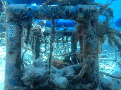
A Rapid Assessment Instrument for Coastal Benthic Habitats (ARAICoBeH) System is a set of low-cost survey equipment that can cover huge areas of both coral and non-coral sites within a short amount of time.
ARAICoBeH System is deployed from a boat and is made up of 3 components: 1) an action camera on a small metal pole with fin tied to a rope; 2) an echo sounder that detects depth; and 3) a GPS device. During surveys, the camera is set on time lapse and the tool is dropped a meter above the bottom. The boat moves from shallow to deeper portions of the site while ARAICoBeH is simultaneously being towed and reeled in or out. The echo sounder automatically measures the depth so the distance of the tool can be adjusted to have good photos and as not to damage corals. The GPS records location which is used to synchronize with the photographs acquired. The system also comes with scripts for post field processing of data written in R. This script was made by the researchers to quickly tag location to the photos and to sort which will be used for manual analysis using a free software. Another companion script was also written to easily map out the results.
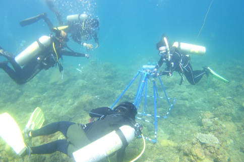
Cost and timewise, ARAICoBeH is cheaper and it takes less time to gather the same number of underwater photos compared to scuba diving. This paves a means for faster, larger-scale and cheaper assessments of the large tracks of coastal habitats surrounding our islands.
(NACRE Program, Dr. Cesar Villonoy and Dr. Aletta T. Yñiguez/UPD MSI)
 System 3")
 System 4")
 System 5")
 System 6")
 System 8")